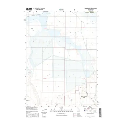
2015 Map of Lower Klamath Lake
USGS Topo · Published 2015About this map
Chalk Bank Landing sits at the edge of a highly modified hydrologic landscape along the California-Oregon border. This area is defined by the remnants of Lower Klamath Lake, which is crisscrossed by an extensive network of reclamation infrastructure, most notably the Klamath Strait Drain. The map reveals the intricate grid of agricultural land and water management that has reshaped the basin, including White Lake and Fairchild Island. To the south, the terrain rises into the Modoc National Forest, where the flat reclaimed beds give way to features like Big Tableland and Sardine Flat. Coyote Point and Glaser Lakes mark the western transition from the basin floor toward higher ground, while Willow Creek provides a natural contrast to the engineered drainage canals that dominate the northern flats.
Find a feature on this map
20 named features on this map. Tap any name to fly to it.
Don’t see what you’re looking for? This feature index may not catch every label — zoom into the map to look around manually.
Map Details
Editions of this 2015 Lower Klamath Lake Map
This is the sole edition of this map. No revisions or reprints were ever made.
Other maps of this area

1886 · Modoc Lava Bed
USGS Topo · 1:250,000

1889 · Klamath
USGS Topo · 1:250,000

1892 · Modoc Lava-Bed
USGS Topo · 1:250,000

1894 · Klamath
USGS Topo · 1:250,000

1950 · Mt. Dome
USGS Topo · 1:62,500

1950 · Dorris
USGS Topo · 1:62,500

1954 · Alturas
USGS Topo · 1:250,000

1955 · Klamath Falls
USGS Topo · 1:250,000

1957 · Merrill
USGS Topo · 1:62,500

1957 · Klamath Falls
USGS Topo · 1:62,500