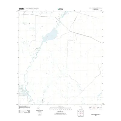
2012 Map of Lower Myakka Lake
USGS Topo · Published 2012About this map
Myakka River drainage patterns define this South Florida landscape, where the seasonal expansion and contraction of water shape the local geography. The map centers on the transition from the river channel into Lower Myakka Lake, a prominent feature of the regional wetlands system. Just to the southwest of the lake lies Deep Hole, a significant hydrological feature in the river's course. Human presence is marked by established sites like Harris Camp and Fortners Camp, situated along the western margins of the wetlands.
Find a feature on this map
13 named features on this map. Tap any name to fly to it.
Don’t see what you’re looking for? This feature index may not catch every label — zoom into the map to look around manually.
Map Details
Editions of this 2012 Lower Myakka Lake Map
This is the sole edition of this map. No revisions or reprints were ever made.
Other maps of this area

1943 · Laurel
USGS Topo · 1:24,000

1944 · Lower Myakka Lake
USGS Topo · 1:31,680

1944 · Myakka River
USGS Topo · 1:31,680

1944 · Laurel
USGS Topo · 1:31,680

1944 · Venice
USGS Topo · 1:31,680

1944 · Miakka
USGS Topo · 1:31,680

1947 · Bee Ridge
USGS Topo · 1:24,000

1956 · Murdock
USGS Topo · 1:24,000

1956 · Myakka City
USGS Topo · 1:24,000

1956 · Murdock NW
USGS Topo · 1:24,000