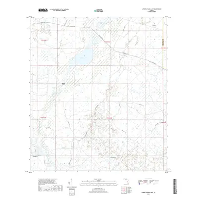
2018 Map of Lower Myakka Lake
USGS Topo · Published 2018About this map
The Myakka River corridor defines the landscape of this southern Florida survey, where the freshwater systems of Lower Myakka Lake and the Vanderipe Slough meet a network of historical trails and ranch roads. The map captures a transition from the developing edges of Venice in the southwest corner to the expansive wetlands and protected parklands that characterize the interior. Named locations like Shiney Town and Honore sit near the northern boundary, while a complex web of named paths, including the Vicker's Head Trl and Buck Mann Trl, cross the terrain.
Find a feature on this map
25 named features on this map. Tap any name to fly to it.
Don’t see what you’re looking for? This feature index may not catch every label — zoom into the map to look around manually.
Map Details
Editions of this 2018 Lower Myakka Lake Map
This is the sole edition of this map. No revisions or reprints were ever made.
Other maps of this area

1943 · Laurel
USGS Topo · 1:24,000

1944 · Lower Myakka Lake
USGS Topo · 1:31,680

1944 · Myakka River
USGS Topo · 1:31,680

1944 · Laurel
USGS Topo · 1:31,680

1944 · Venice
USGS Topo · 1:31,680

1944 · Miakka
USGS Topo · 1:31,680

1947 · Bee Ridge
USGS Topo · 1:24,000

1956 · Murdock
USGS Topo · 1:24,000

1956 · Myakka City
USGS Topo · 1:24,000

1956 · Murdock NW
USGS Topo · 1:24,000