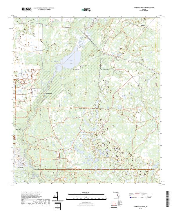
2024 Map of Lower Myakka Lake
USGS Topo · Published 2024About this map
Myakka River drainage patterns define this landscape of southwest Florida, where the waterway expands into the Lower Myakka Lake before continuing south toward the Gulf. The northern portion of the map is dominated by the sprawling wetlands of the Myakka River State Park, characterized by unique hydrological features such as Vanderipe Slough and the isolated Deep Hole. To the south, the expansion of Venice is visible through modern residential developments like Portofino Dr and Bella Vista Ter.
Find a feature on this map
32 named features on this map. Tap any name to fly to it.
Don’t see what you’re looking for? This feature index may not catch every label — zoom into the map to look around manually.
Map Details
Editions of this 2024 Lower Myakka Lake Map
This is the sole edition of this map. No revisions or reprints were ever made.
Other maps of this area

1943 · Laurel
USGS Topo · 1:24,000

1944 · Lower Myakka Lake
USGS Topo · 1:31,680

1944 · Myakka River
USGS Topo · 1:31,680

1944 · Laurel
USGS Topo · 1:31,680

1944 · Venice
USGS Topo · 1:31,680

1944 · Miakka
USGS Topo · 1:31,680

1947 · Bee Ridge
USGS Topo · 1:24,000

1956 · Murdock
USGS Topo · 1:24,000

1956 · Myakka City
USGS Topo · 1:24,000

1956 · Murdock NW
USGS Topo · 1:24,000