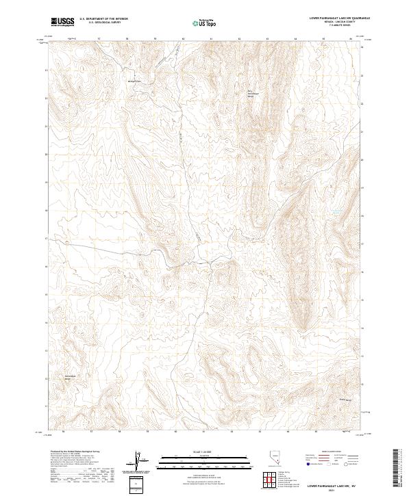
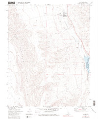
2021 Map of Lower Pahranagat Lake NW
USGS Topo · Published 2021About this map
The East Pahranagat Range and the Pahranagat Range define this high-desert basin in Lincoln County, Nevada. The landscape is marked by extreme isolation and ancient corridors, most notably where the Old Corn Creek Rd and Old Corn Rd wind through the arid terrain. These routes historically connected distant desert springs and ranching outposts across the Great Basin, navigating around topographical obstacles like Medsger Pass.
Find a feature on this map
11 named features on this map. Tap any name to fly to it.
Don’t see what you’re looking for? This feature index may not catch every label — zoom into the map to look around manually.
Map Details
Editions of this 2021 Lower Pahranagat Lake NW Map
This is the sole edition of this map. No revisions or reprints were ever made.
Other maps of this area

1945 · Alamo
USGS Topo · 1:125,000

1954 · Caliente
USGS Topo · 1:250,000

1959 · Caliente
USGS Topo · 1:250,000

1969 · Alamo SE
USGS Topo · 1:24,000
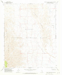
1969 · Lower Pahranagat Lake SE
USGS Topo · 1:24,000

1969 · Lower Pahranagat Lake
USGS Topo · 1:24,000
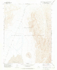
1969 · Lower Pahranagat Lake SW
USGS Topo · 1:24,000
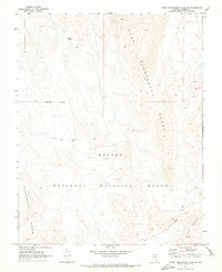
1969 · Lower Pahranagat Lake NW
USGS Topo · 1:24,000

1969 · Alamo
USGS Topo · 1:24,000
1980 · Alamo
USGS Topo · 1:24,000