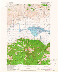
1950 Map of Lower Red Rock Lake
USGS Topo · Published 1963About this map
The Continental Divide serves as the dramatic southern boundary of this 1950 survey, tracing the high ridges between Beaverhead National Forest in Montana and Targhee National Forest in Idaho. At the heart of the Centennial Valley, the Red Rock Lakes National Wildlife Refuge encompasses the sprawling waters of Lower Red Rock Lake. The landscape is a mix of high-altitude wetlands and steep timbered slopes, supporting an economy of isolated homesteads and livestock operations.
Find a feature on this map
62 named features on this map. Tap any name to fly to it.
Don’t see what you’re looking for? This feature index may not catch every label — zoom into the map to look around manually.
Map Details
Editions of this 1950 Lower Red Rock Lake Map
5 editions found
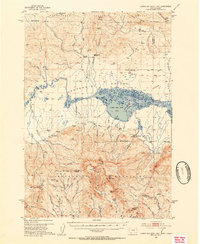
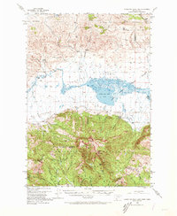
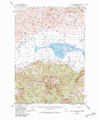
Other maps of this area

1950 · Cliff Lake
USGS Topo · 1:62,500

1950 · Lower Red Rock Lake
USGS Topo · 1:62,500

1950 · Monument Ridge
USGS Topo · 1:62,500

1950 · Upper Red Rock Lake
USGS Topo · 1:62,500

1955 · Dubois
USGS Topo · 1:250,000

1955 · Ashton
USGS Topo · 1:250,000

1958 · Dubois
USGS Topo · 1:250,000

1958 · Ashton
USGS Topo · 1:250,000

1960 · Ashton
USGS Topo · 1:250,000

1965 · Sheridan Reservoir
USGS Topo · 1:24,000