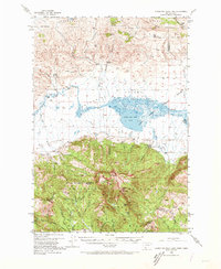
1950 Map of Lower Red Rock Lake
USGS Topo · Published 1973About this map
The Continental Divide snake along the high crests of the Centennial Mountains, marking the rugged border between Montana and Idaho. This high-altitude landscape is dominated by the Red Rock Lakes National Wildlife Refuge, where the Lower Red Rock Lake serves as a critical wetland anchor within the broad Centennial Valley. The map reveals a remote ranching and conservation economy at mid-century, centered around the small settlement of Lakeview and the Refuge Headquarters.
Find a feature on this map
48 named features on this map. Tap any name to fly to it.
Don’t see what you’re looking for? This feature index may not catch every label — zoom into the map to look around manually.
Map Details
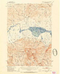
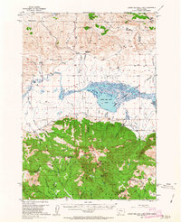
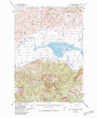
Editions of this 1950 Lower Red Rock Lake Map
5 editions found
Other maps of this area

1950 · Cliff Lake
USGS Topo · 1:62,500

1950 · Lower Red Rock Lake
USGS Topo · 1:62,500

1950 · Monument Ridge
USGS Topo · 1:62,500

1950 · Upper Red Rock Lake
USGS Topo · 1:62,500

1955 · Dubois
USGS Topo · 1:250,000

1955 · Ashton
USGS Topo · 1:250,000

1958 · Dubois
USGS Topo · 1:250,000

1958 · Ashton
USGS Topo · 1:250,000

1960 · Ashton
USGS Topo · 1:250,000

1965 · Sheridan Reservoir
USGS Topo · 1:24,000