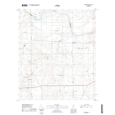
2018 Map of Lowndesboro
USGS Topo · Published 2018About this map
Lowndesboro and its surrounding Black Belt landscape are defined by the winding course of the Alabama River, here represented by the R E "Bob" Woodruff Reservoir. The geography reveals a dense concentration of small family and community burial grounds, such as Oakview Cem, Yankee Town Cem, and Graves Cem, which are often located near historical homesteads and settlements like Saint Clair and Manack. These features offer valuable spatial data for genealogists tracing ancestral lines in Lowndes County.
Find a feature on this map
77 named features on this map. Tap any name to fly to it.
Don’t see what you’re looking for? This feature index may not catch every label — zoom into the map to look around manually.
Map Details
Editions of this 2018 Lowndesboro Map
This is the sole edition of this map. No revisions or reprints were ever made.
Other maps of this area

1927 · Montgomery
USGS Topo · 1:48,000

1930 · Montgomery
USGS Topo · 1:62,500

1953 · Montgomery
USGS Topo · 1:250,000

1956 · Montgomery
USGS Topo · 1:250,000

1957 · Montgomery
USGS Topo · 1:250,000

1957 · Letohatchee
USGS Topo · 1:62,500

1957 · Autaugaville
USGS Topo · 1:62,500

1958 · Montgomery
USGS Topo · 1:62,500

1975 · Autaugaville SW
USGS Topo · 1:24,000

1975 · Autaugaville SE
USGS Topo · 1:24,000