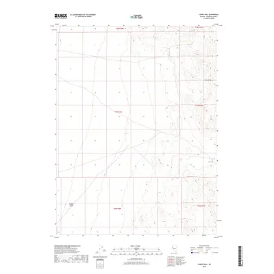
2018 Map of Lowry Well
USGS Topo · Published 2018About this map
Lowry Well and the nearby J Marzen Spring provide critical water points in this arid stretch of Pershing County. This 2018 survey documents the sharp transition from the elevated peaks of the Trinity Range down into the broad, flat expanse of the Granite Springs Valley. The landscape is defined by its topographic extremes, showing the isolated water sources that historically dictated movement and land use in this high-desert environment. Township and range boundaries like t28n r29e and t27n r28e delineate the vast tracts of public and private lands, while a sparse network of secondary roads and 4WD tracks traces the foothills, marking the few points of human ingress into this remote territory.
Find a feature on this map
10 named features on this map. Tap any name to fly to it.
Don’t see what you’re looking for? This feature index may not catch every label — zoom into the map to look around manually.
Map Details
Editions of this 2018 Lowry Well Map
This is the sole edition of this map. No revisions or reprints were ever made.
Other maps of this area

1931 · Lovelock
USGS Topo · 1:250,000

1935 · Lovelock
USGS Topo · 1:250,000

1955 · Lovelock
USGS Topo · 1:250,000
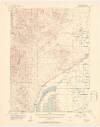
1956 · Toulon
USGS Topo · 1:62,500

1959 · Lovelock
USGS Topo · 1:250,000
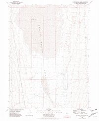
1981 · Bluewing Flat South
USGS Topo · 1:24,000
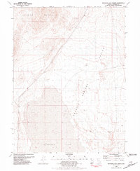
1981 · Bluewing Flat North
USGS Topo · 1:24,000
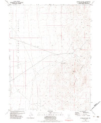
1981 · Ragged Top Mtn
USGS Topo · 1:24,000
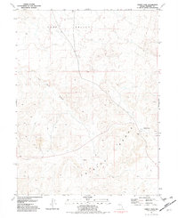
1981 · Trinity Pass
USGS Topo · 1:24,000
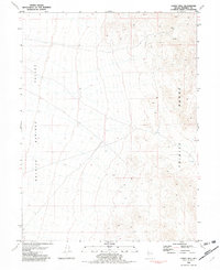
1981 · Lowry Well
USGS Topo · 1:24,000