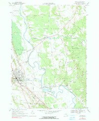
1966 Map of Lowville
USGS Topo · Published 1990About this map
The Black River meanders through the heart of Lewis County, defining the agricultural and industrial character of the valley in the mid-1960s. The village of Lowville stands as the primary hub, where the Penn Central railroad corridors and the County Fairgrounds mark the western edge of town. This survey reveals a landscape of transition where active farmland meets the sprawling State Forest Preserve to the east.
Find a feature on this map
68 named features on this map. Tap any name to fly to it.
Don’t see what you’re looking for? This feature index may not catch every label — zoom into the map to look around manually.
Map Details
Editions of this 1966 Lowville Map
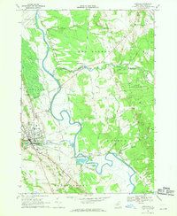
2 editions found
Other maps of this area

1902 · Carthage
USGS Topo · 1:62,500

1904 · Carthage
USGS Topo · 1:62,500

1905 · Port Leyden
USGS Topo · 1:62,500

1906 · Highmarket
USGS Topo · 1:62,500

1907 · Port Leyden
USGS Topo · 1:62,500

1911 · Lowville
USGS Topo · 1:62,500

1913 · Lowville
USGS Topo · 1:62,500

1940 · Port Leyden
USGS Topo · 1:62,500

1943 · West Lowville
USGS Topo · 1:31,680

1943 · Carthage
USGS Topo · 1:31,680