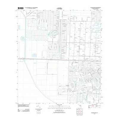
2012 Map of Loxahatchee
USGS Topo · Published 2012About this map
West Palm Beach Canal serves as a primary geographic anchor for this part of Palm Beach County, carving through a landscape transitioning into managed residential and agricultural parcels. The map reveals the intricate network of the Wellington Aero Club Airport and its surrounding aviation-centric community, where residential taxiways meet private hangars. To the west, the themed street names of the safari grounds appear, including Lion Country Safari Rd, Umfalzi Plains Trl, and Clydesdale Dr. The grid is defined by citrus-related thoroughfares like Orange Grove Blvd, reflecting the area's agricultural roots. Further south, the L-7 Canal marks the edge of the more developed drainage districts, while roads such as Cabbage Palm Way and Lame Panther Ln point to the native flora and fauna that once dominated this Everglades margin.
Find a feature on this map
202 named features on this map. Tap any name to fly to it.
Don’t see what you’re looking for? This feature index may not catch every label — zoom into the map to look around manually.
Map Details
Editions of this 2012 Loxahatchee Map
This is the sole edition of this map. No revisions or reprints were ever made.
Other maps of this area

1945 · Delta
USGS Topo · 1:24,000

1945 · Greenacres City
USGS Topo · 1:24,000

1946 · Palm Beach Farms
USGS Topo · 1:24,000

1949 · Palm Beach Farms
USGS Topo · 1:24,000

1950 · Greenacres City
USGS Topo · 1:24,000

1950 · Delta
USGS Topo · 1:24,000

1956 · West Palm Beach
USGS Topo · 1:250,000

1957 · West Palm Beach
USGS Topo · 1:250,000

1958 · West Palm Beach
USGS Topo · 1:250,000

1970 · West Palm Beach 2 SW
USGS Topo · 1:24,000