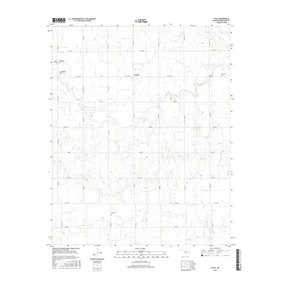
2016 Map of Loyal
USGS Topo · Published 2016About this map
The small community of Loyal anchors the northwest corner of this Kingfisher County survey, situated just south of the Cimarron River as it meanders across the Oklahoma plains. This agricultural landscape is meticulously organized by a grid of section roads like n2740 RD and e0710 RD, reflecting the enduring settlement patterns of the region. Local history is deeply embedded in the land through several burial grounds, including Forest Home Cem and the Saint Joseph Catholic Cem near the town center, as well as Greenwood Cem to the south. The terrain is defined by the drainage of Cooper Cr and the winding course of Felter Br, which cut through the rolling prairie towards the river. To the east, the map identifies the location of Oneida, while the 07310 Reservoir in the southeast provides a modern water management feature within this established farming territory.
Find a feature on this map
29 named features on this map. Tap any name to fly to it.
Don’t see what you’re looking for? This feature index may not catch every label — zoom into the map to look around manually.
Map Details
Editions of this 2016 Loyal Map
This is the sole edition of this map. No revisions or reprints were ever made.
Other maps of this area
1892 · Kingfisher
USGS Topo · 1:125,000
1893 · Hennessey
USGS Topo · 1:62,500
1893 · Loyal
USGS Topo · 1:62,500
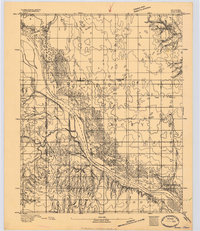
1893 · Ames
USGS Topo · 1:62,500
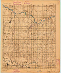
1895 · Kingfisher
USGS Topo · 1:125,000
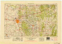
1954 · Oklahoma City
USGS Topo · 1:250,000
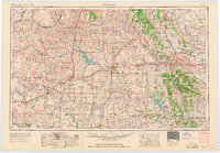
1955 · Clinton
USGS Topo · 1:250,000
1955 · Enid
USGS Topo · 1:250,000
1955 · Woodward
USGS Topo · 1:250,000
1956 · Ames
USGS Topo · 1:62,500