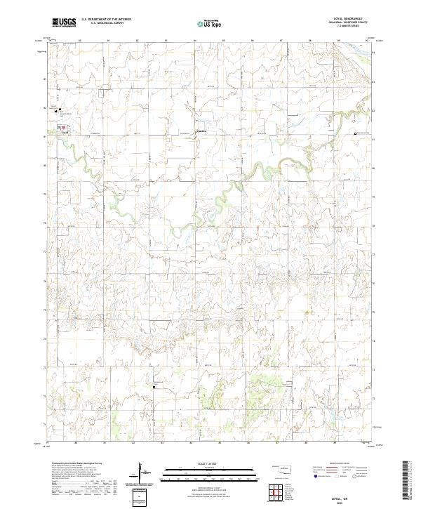
2022 Map of Loyal
USGS Topo · Published 2022About this map
Loyal serves as the primary hub in this corner of Kingfisher County, situated on a high point between the drainages of the Cimarron River to the northeast and Cooper Cr to the south. The landscape is structured by a rigorous sectional road grid, including Co RD e0720 and n2740 RD, reflecting the agricultural organization of western Oklahoma. Smaller watercourses like Felter Br and Treaty Cr carve subtle variations into the terrain.
Find a feature on this map
34 named features on this map. Tap any name to fly to it.
Don’t see what you’re looking for? This feature index may not catch every label — zoom into the map to look around manually.
Map Details
Editions of this 2022 Loyal Map
This is the sole edition of this map. No revisions or reprints were ever made.
Other maps of this area

1892 · Kingfisher
USGS Topo · 1:125,000

1893 · Hennessey
USGS Topo · 1:62,500

1893 · Loyal
USGS Topo · 1:62,500

1893 · Ames
USGS Topo · 1:62,500

1895 · Kingfisher
USGS Topo · 1:125,000

1954 · Oklahoma City
USGS Topo · 1:250,000

1955 · Clinton
USGS Topo · 1:250,000

1955 · Enid
USGS Topo · 1:250,000

1955 · Woodward
USGS Topo · 1:250,000

1956 · Ames
USGS Topo · 1:62,500