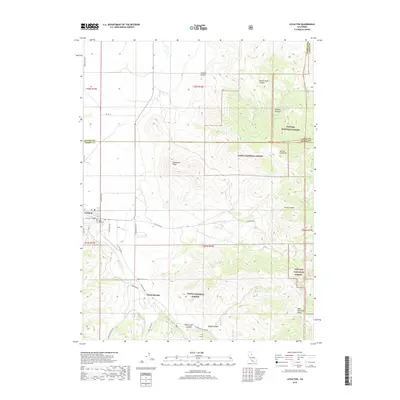
2018 Map of Loyalton
USGS Topo · Published 2018About this map
Loyalton sits at the intersection of mountain and valley, where the southern edge of the Sierra Valley meets the high timberlands of the Tahoe National Forest. This 2018 survey documents a landscape of rugged canyons and peaks, anchored by landmarks such as Mt Ina Coolbrith and the distinctive Elephants Head prominence. The terrain is defined by drainage systems like Smithneck Cr and Bear Valley Cr, which flow from the higher elevations of the Toiyabe National Forest toward the valley floor.
Find a feature on this map
38 named features on this map. Tap any name to fly to it.
Don’t see what you’re looking for? This feature index may not catch every label — zoom into the map to look around manually.
Map Details
Editions of this 2018 Loyalton Map
This is the sole edition of this map. No revisions or reprints were ever made.
Other maps of this area

1890 · Sierraville
USGS Topo · 1:125,000

1892 · Sierraville
USGS Topo · 1:125,000

1894 · Sierraville
USGS Topo · 1:125,000

1950 · Chilcoot
USGS Topo · 1:62,500

1950 · Portola
USGS Topo · 1:62,500

1955 · Loyalton
USGS Topo · 1:62,500

1955 · Sierraville
USGS Topo · 1:62,500

1958 · Chico
USGS Topo · 1:250,000

1960 · Chico
USGS Topo · 1:250,000
1972 · Reconnaissance Peak
USGS Topo · 1:24,000