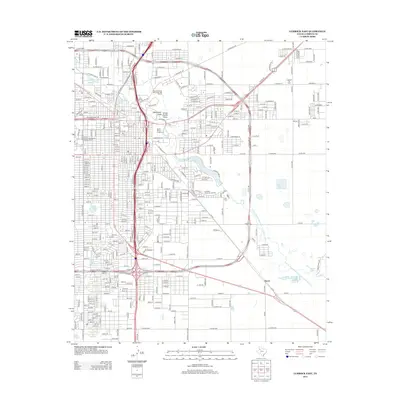
2012 Map of Lubbock East
USGS Topo · Published 2012About this map
The South Overton Residential Historic District anchors the western edge of this Lubbock landscape, reflecting the city's established residential development during the early 21st century. The map reveals the intricate drainage and water management of the Llano Estacado, where Yellow House Draw and Blackwater Draw converge. These ephemeral watercourses feed into a series of managed basins, including Canyon Lake Number 2 and Canyon Lake Number 6, which eventually join the N Fork Double Mountain Fork Brazos River.
Find a feature on this map
28 named features on this map. Tap any name to fly to it.
Don’t see what you’re looking for? This feature index may not catch every label — zoom into the map to look around manually.
Map Details
Editions of this 2012 Lubbock East Map
This is the sole edition of this map. No revisions or reprints were ever made.
Other maps of this area

1954 · Lubbock
USGS Topo · 1:250,000

1956 · Shallowater
USGS Topo · 1:24,000

1956 · New Deal
USGS Topo · 1:24,000

1957 · Lubbock East
USGS Topo · 1:24,000

1957 · New Home
USGS Topo · 1:62,500

1957 · Lubbock West
USGS Topo · 1:24,000

1957 · Lubbock
USGS Topo · 1:62,500

1965 · Slaton
USGS Topo · 1:24,000

1965 · Buffalo Springs Lake
USGS Topo · 1:24,000

1965 · Idalou
USGS Topo · 1:24,000