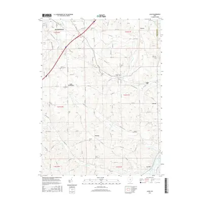
2016 Map of Lucas
USGS Topo · Published 2016About this map
The rolling hills of Richland County unfold across this detailed survey, anchored by the village of Lucas and the southeastern edge of Mansfield. The landscape is defined by the winding course of the Rocky Fork, which passes the site of Culler Mill as it flows toward the Ashland County line. This area preserves a dense concentration of historical burial grounds, including the Mount Zion Lutheran Cem and the Odd Fellows Cem, which serve as vital markers of the region's 19th-century settlement patterns.
Find a feature on this map
116 named features on this map. Tap any name to fly to it.
Don’t see what you’re looking for? This feature index may not catch every label — zoom into the map to look around manually.
Map Details
Editions of this 2016 Lucas Map
This is the sole edition of this map. No revisions or reprints were ever made.
Other maps of this area

1908 · Ashland
USGS Topo · 1:62,500

1912 · Perrysville
USGS Topo · 1:62,500

1915 · Crestline
USGS Topo · 1:62,500

1915 · Perrysville
USGS Topo · 1:62,500

1915 · Shauck
USGS Topo · 1:62,500

1943 · Shauck
USGS Topo · 1:62,500

1943 · Crestline
USGS Topo · 1:62,500

1944 · Perrysville
USGS Topo · 1:62,500

1950 · Marion
USGS Topo · 1:250,000

1960 · Pavonia
USGS Topo · 1:24,000