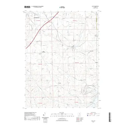
2019 Map of Lucas
USGS Topo · Published 2019About this map
The rolling hills of Richland County unfold southeast of Mansfield, where the landscape transitions from urban edges to a network of small agricultural settlements and rural cemeteries. The Rocky Fork and Switzer Cr drain this upland terrain, which is defined by a dense grid of township and county roads connecting historic hamlets like Little Washington and Lucas. These communities serve as anchors for local history, often centered around family and fraternal sites such as Odd Fellows Cem and Caesarea Cem.
Find a feature on this map
116 named features on this map. Tap any name to fly to it.
Don’t see what you’re looking for? This feature index may not catch every label — zoom into the map to look around manually.
Map Details
Editions of this 2019 Lucas Map
This is the sole edition of this map. No revisions or reprints were ever made.
Other maps of this area

1908 · Ashland
USGS Topo · 1:62,500

1912 · Perrysville
USGS Topo · 1:62,500

1915 · Crestline
USGS Topo · 1:62,500

1915 · Perrysville
USGS Topo · 1:62,500

1915 · Shauck
USGS Topo · 1:62,500

1943 · Shauck
USGS Topo · 1:62,500

1943 · Crestline
USGS Topo · 1:62,500

1944 · Perrysville
USGS Topo · 1:62,500

1950 · Marion
USGS Topo · 1:250,000

1960 · Pavonia
USGS Topo · 1:24,000