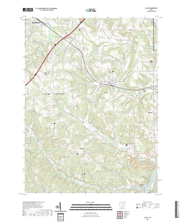
2023 Map of Lucas
USGS Topo · Published 2023About this map
Lucas sits at the heart of this landscape, where the headwaters of the Rocky Fork meet the rolling agricultural terrain of Richland County. The area is characterized by a dense network of family and community heritage sites, including the Odd Fellows Cem and Williams Cem. Small hamlets and crossroads such as Little Washington, Hastings, and Pinhook dot the map, illustrating a settlement pattern rooted in nineteenth-century farming.
Find a feature on this map
117 named features on this map. Tap any name to fly to it.
Don’t see what you’re looking for? This feature index may not catch every label — zoom into the map to look around manually.
Map Details
Editions of this 2023 Lucas Map
This is the sole edition of this map. No revisions or reprints were ever made.
Other maps of this area

1908 · Ashland
USGS Topo · 1:62,500

1912 · Perrysville
USGS Topo · 1:62,500

1915 · Crestline
USGS Topo · 1:62,500

1915 · Perrysville
USGS Topo · 1:62,500

1915 · Shauck
USGS Topo · 1:62,500

1943 · Shauck
USGS Topo · 1:62,500

1943 · Crestline
USGS Topo · 1:62,500

1944 · Perrysville
USGS Topo · 1:62,500

1950 · Marion
USGS Topo · 1:250,000

1960 · Pavonia
USGS Topo · 1:24,000