
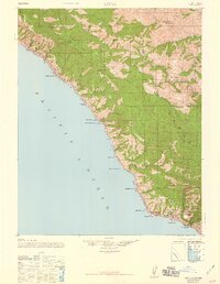
1947 Map of Lucia
USGS Topo · Published 1947About this map
The Santa Lucia Range dominates this 1947 survey of the Big Sur coast, where the steep mountains meet the Pacific Ocean. This map documents a transitional era for remote Monterey County settlements like Lucia P.O. and Tassajara Hot Springs before modern infrastructure fully transformed the region. The landscape is defined by deep canyons such as McWay Canyon and Partington Creek, with coastal access points including Anderson Landing and Rockland Landing hinting at the maritime history of this isolated stretch. Local educational and social life is marked by the Seaview School and Redwood School, while family names are preserved through landmarks like Anderson Peak, Higgins Cabin, and the Higgins Trail. The inclusion of a Military Reservation near the southern coast reflects the strategic importance of the shoreline during the mid-20th century.
Find a feature on this map
57 named features on this map. Tap any name to fly to it.
Don’t see what you’re looking for? This feature index may not catch every label — zoom into the map to look around manually.
Map Details
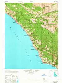
Editions of this 1947 Lucia Map
3 editions found
Other maps of this area

1915 · Soledad
USGS Topo · 1:62,500

1918 · Point Sur
USGS Topo · 1:62,500

1919 · Junipero Serra
USGS Topo · 1:62,500

1920 · Jamesburg
USGS Topo · 1:48,000

1921 · Cape San Martin
USGS Topo · 1:62,500

1921 · Jamesburg
USGS Topo · 1:62,500

1921 · Lucia
USGS Topo · 1:62,500

1925 · Point Sur
USGS Topo · 1:62,500

1939 · Jamesburg
USGS Topo · 1:62,500

1940 · Jamesburg
USGS Topo · 1:62,500