
1983 Map of Lucin 4 NE
USGS Topo · Published 1983About this map
Mud Flat terrain dominates this 1983 orthophotomap, showing the stark, expansive surface of the Great Salt Lake Desert in Box Elder County. Produced by the Geological Survey using aerial photography from 1973, the imagery reveals the intricate, almost vascular patterns of drainage and seasonal water movement across the salt crust. A single Flowing Well in the northern section provides one of the few points of water infrastructure in this arid environment. The map captures the region at a specific moment in the early 1980s, documenting the undisturbed topography before any modern alterations or environmental shifts in the Great Basin's hydrologic landscape.
Find a feature on this map
2 named features on this map. Tap any name to fly to it.
Don’t see what you’re looking for? This feature index may not catch every label — zoom into the map to look around manually.
Map Details
Editions of this 1983 Lucin 4 NE Map
This is the sole edition of this map. No revisions or reprints were ever made.
Other maps of this area

1954 · Brigham City
USGS Topo · 1:250,000

1958 · Brigham City
USGS Topo · 1:250,000

1962 · Brigham City
USGS Topo · 1:250,000

1983 · Jackson
USGS Topo · 1:24,000

1983 · Lemay
USGS Topo · 1:24,000
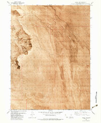
1983 · Lucin 4 SW
USGS Topo · 1:24,000

1983 · Bovine SE
USGS Topo · 1:24,000
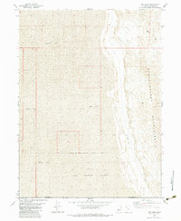
1983 · Big Pass
USGS Topo · 1:24,000
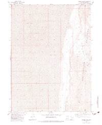
1983 · Miners Basin
USGS Topo · 1:24,000
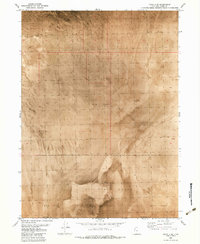
1983 · Lucin 4 SE
USGS Topo · 1:24,000