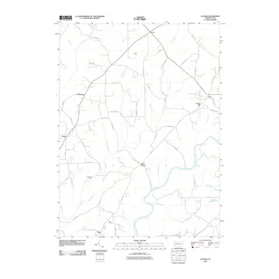
2010 Map of Lucinda
USGS Topo · Published 2010About this map
The Clarion River winds through this section of Millcreek Township, carving a deep valley that separates the rural plateaus of northern Clarion County. In the early 21st century, the landscape remains defined by a network of small, established settlements like Lucinda, Snydersburg, and Leeper, which serve as the primary hubs for this upland region. The map highlights a long history of resource and land use, from the named crossroads at Scotch Hill and Cooks Corners to the eponymous Helen Furnace. Local infrastructure is represented by the Schmader Airport near Miola, while family and community history is preserved at the Miola Cemetery. Dozens of smaller waterways, including Toby Creek, Step Creek, and Blyson Run, drain the wooded terrain toward the main river channel, illustrating the complex drainage patterns that have shaped local transport and settlement since the 19th century.
Find a feature on this map
72 named features on this map. Tap any name to fly to it.
Don’t see what you’re looking for? This feature index may not catch every label — zoom into the map to look around manually.
Map Details
Editions of this 2010 Lucinda Map
This is the sole edition of this map. No revisions or reprints were ever made.
Other maps of this area

1906 · Clarion
USGS Topo · 1:62,500

1907 · Clarion
USGS Topo · 1:62,500

1918 · Loleta
USGS Topo · 1:62,500

1922 · Tionesta
USGS Topo · 1:62,500

1924 · Tionesta
USGS Topo · 1:62,500

1924 · Brookville
USGS Topo · 1:62,500

1926 · Brookville
USGS Topo · 1:62,500

1936 · Marienville
USGS Topo · 1:48,000

1941 · Marienville
USGS Topo · 1:62,500

1944 · Brookville
USGS Topo · 1:62,500