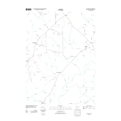
2013 Map of Lucinda
USGS Topo · Published 2013About this map
The Clarion River winds through the southern reaches of this 2013 survey, defining the landscape near Miola. In this portion of Clarion County, Pennsylvania, the terrain is marked by numerous streams and runs, such as Tarkiln Run, Blyson Run, and Maxwell Run, which drain into the river. The map details several established communities including Leeper, Snydersburg, and Lucinda, all connected by a network of local roads. Industrial and local history is hinted at by the presence of Helen Furnace and Scotch Hill. To the northwest, Frederick Airpark serves as a notable landmark near Foy Run. The settlement patterns show clusters of development along main routes, illustrating the modern layout of these Pennsylvania townships. Researchers can trace the varied topography from the heights near Cooks Corners down to the creek beds.
Find a feature on this map
116 named features on this map. Tap any name to fly to it.
Don’t see what you’re looking for? This feature index may not catch every label — zoom into the map to look around manually.
Map Details
Editions of this 2013 Lucinda Map
This is the sole edition of this map. No revisions or reprints were ever made.
Other maps of this area

1906 · Clarion
USGS Topo · 1:62,500

1907 · Clarion
USGS Topo · 1:62,500

1918 · Loleta
USGS Topo · 1:62,500

1922 · Tionesta
USGS Topo · 1:62,500

1924 · Tionesta
USGS Topo · 1:62,500

1924 · Brookville
USGS Topo · 1:62,500

1926 · Brookville
USGS Topo · 1:62,500

1936 · Marienville
USGS Topo · 1:48,000

1941 · Marienville
USGS Topo · 1:62,500

1944 · Brookville
USGS Topo · 1:62,500