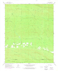
1966 Map of Ludlow
USGS Topo · Published 1978About this map
The settlement of Ludlow sits along the southern edge of the Kiamichi Mountains in southeastern Oklahoma, serving as a rare point of habitation in a landscape dominated by steep ridgelines and creek drainages. This mid-1960s survey illustrates a region defined by its timbered slopes and complex hydrology, where the Little River is joined by numerous tributaries such as Honobia Creek and Potts Creek. The presence of the Ludlow Cem near the town center provides a primary reference for genealogists researching family history in this corner of Le Flore County.
Find a feature on this map
27 named features on this map. Tap any name to fly to it.
Don’t see what you’re looking for? This feature index may not catch every label — zoom into the map to look around manually.
Map Details
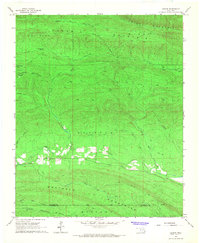
Editions of this 1966 Ludlow Map
2 editions found
Other maps of this area

1900 · Winding Stair
USGS Topo · 1:125,000

1902 · Lukfata
USGS Topo · 1:125,000

1909 · Winding Stair
USGS Topo · 1:125,000

1950 · Mcalester
USGS Topo · 1:250,000

1959 · Page
USGS Topo · 1:62,500

1960 · Bethel
USGS Topo · 1:62,500

1960 · Smithville
USGS Topo · 1:62,500

1962 · McAlester
USGS Topo · 1:250,000

1965 · McAlester
USGS Topo · 1:250,000

1966 · Muse
USGS Topo · 1:24,000