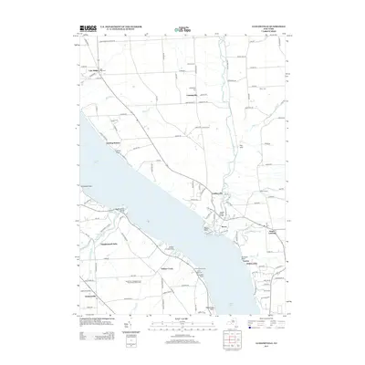
2013 Map of Ludlowville
USGS Topo · Published 2013About this map
Cayuga Lake dominates the central landscape of this Tompkins County quadrangle, where the steep eastern shoreline is punctuated by points such as Crowbar Point and Myers Point. On the western shore, the dramatic descent of Taughannock Cr culminates at the famous Taughannock Falls, a major geological landmark. The settlement pattern reflects a deeply rooted agricultural and lakeside history, with hamlets like Ludlowville and Lansingville serving as inland hubs connected by a network of farm-to-market roads. Genealogists will find significant value in the documentation of several family and community burial grounds, including German Cem, Bower Cem, and Lake Ridge Cem. The transition from the lakefront's recreational areas, like Lansing Town Marina, to the elevated farming plateaus of Brooks Hill and French Hill illustrates the region's dual identity as both a scenic Finger Lakes destination and a productive rural landscape.
Find a feature on this map
124 named features on this map. Tap any name to fly to it.
Don’t see what you’re looking for? This feature index may not catch every label — zoom into the map to look around manually.
Map Details
Editions of this 2013 Ludlowville Map
This is the sole edition of this map. No revisions or reprints were ever made.
Other maps of this area

1893 · Ithaca
USGS Topo · 1:62,500

1895 · Ithaca
USGS Topo · 1:62,500

1898 · Moravia
USGS Topo · 1:62,500

1900 · Dryden
USGS Topo · 1:62,500

1902 · Moravia
USGS Topo · 1:62,500

1902 · Genoa
USGS Topo · 1:62,500

1905 · Watkins Glen
USGS Topo · 1:125,000

1906 · Catatonk
USGS Topo · 1:125,000

1942 · Ludlowville
USGS Topo · 1:24,000

1942 · Sheldrake
USGS Topo · 1:24,000