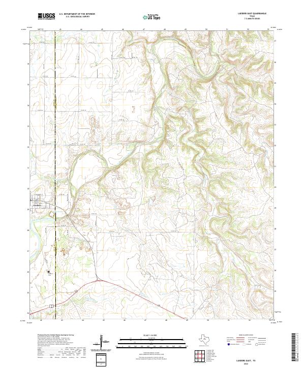
2022 Map of Lueders East
USGS Topo · Published 2022About this map
The Clear Fork Brazos River winds through the borderlands of Shackelford and Jones Counties, anchoring a landscape shaped by creek drainages and sparse ranching roads. The settlement of Lueders sits at the western edge of the quadrangle, where a grid of streets including E Main St and E Rhomberg St meets the river's bend. Just south of the town center, Lake Penick and the Lueders Cem serve as local landmarks for those researching the community's footprint in North Central Texas.
Find a feature on this map
35 named features on this map. Tap any name to fly to it.
Don’t see what you’re looking for? This feature index may not catch every label — zoom into the map to look around manually.
Map Details
Editions of this 2022 Lueders East Map
This is the sole edition of this map. No revisions or reprints were ever made.
Other maps of this area

1891 · Anson
USGS Topo · 1:125,000

1892 · Albany
USGS Topo · 1:125,000

1893 · Albany
USGS Topo · 1:125,000

1893 · Anson
USGS Topo · 1:125,000

1954 · Abilene
USGS Topo · 1:250,000

1957 · Nugent
USGS Topo · 1:62,500

1958 · Abilene
USGS Topo · 1:250,000

1965 · Acampo
USGS Topo · 1:24,000

1965 · Lueders NW
USGS Topo · 1:24,000

1965 · Lueders NE
USGS Topo · 1:24,000