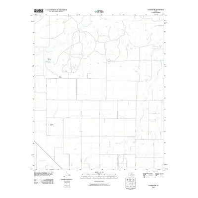
2010 Map of Lueders NW
USGS Topo · Published 2010About this map
Pleasant Valley Cemetery sits near the intersection of several county roads in this rural Texas landscape, serving as a primary point of interest for genealogists and local historians. The terrain is defined by a dendritic network of seasonal waterways, including the winding California Creek and Flat Paint Creek, which cut through the agricultural grid. Human impact on the hydrology is evident at Bettis Lake, where the Bettis Lake Dam regulates the local flow of Spring Creek.
Find a feature on this map
34 named features on this map. Tap any name to fly to it.
Don’t see what you’re looking for? This feature index may not catch every label — zoom into the map to look around manually.
Map Details
Editions of this 2010 Lueders NW Map
This is the sole edition of this map. No revisions or reprints were ever made.
Other maps of this area

1891 · Anson
USGS Topo · 1:125,000

1893 · Anson
USGS Topo · 1:125,000

1954 · Abilene
USGS Topo · 1:250,000

1954 · Wichita Falls
USGS Topo · 1:250,000

1958 · Wichita Falls
USGS Topo · 1:250,000

1958 · Abilene
USGS Topo · 1:250,000

1965 · Lueders NW
USGS Topo · 1:24,000

1965 · Lueders NE
USGS Topo · 1:24,000

1965 · Lueders West
USGS Topo · 1:24,000

1965 · Lueders East
USGS Topo · 1:24,000