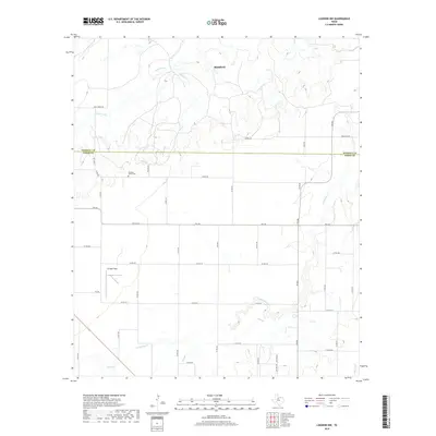
2019 Map of Lueders NW
USGS Topo · Published 2019About this map
Stamford anchors the northern portion of this West Texas landscape, where the agricultural grid is intersected by the winding paths of California Cr and Spring Cr. The terrain is marked by a complex network of county roads that serve the ranching and farming interests straddling the Haskell Co and Jones Co line. Significant for local historians and genealogists, the map identifies the Pleasant Valley Cem and Arledge Field, providing spatial context for community landmarks. Drainage features like Flag Br and Flat Paint Cr feed toward larger water bodies such as Bettis Lake, illustrating the hydrological patterns of this semi-arid region. The extensive labeling of rural routes, including FM 142 and FM 600, offers a detailed record of local transit in the late twenty-tens.
Find a feature on this map
44 named features on this map. Tap any name to fly to it.
Don’t see what you’re looking for? This feature index may not catch every label — zoom into the map to look around manually.
Map Details
Editions of this 2019 Lueders NW Map
This is the sole edition of this map. No revisions or reprints were ever made.
Other maps of this area
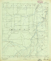
1891 · Anson
USGS Topo · 1:125,000
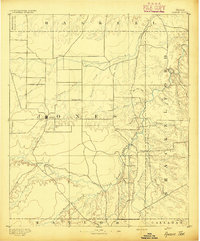
1893 · Anson
USGS Topo · 1:125,000

1954 · Abilene
USGS Topo · 1:250,000

1954 · Wichita Falls
USGS Topo · 1:250,000

1958 · Wichita Falls
USGS Topo · 1:250,000

1958 · Abilene
USGS Topo · 1:250,000
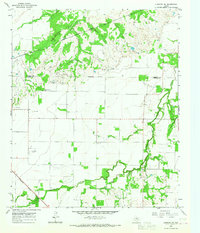
1965 · Lueders NW
USGS Topo · 1:24,000
1965 · Lueders NE
USGS Topo · 1:24,000
1965 · Lueders West
USGS Topo · 1:24,000
1965 · Lueders East
USGS Topo · 1:24,000