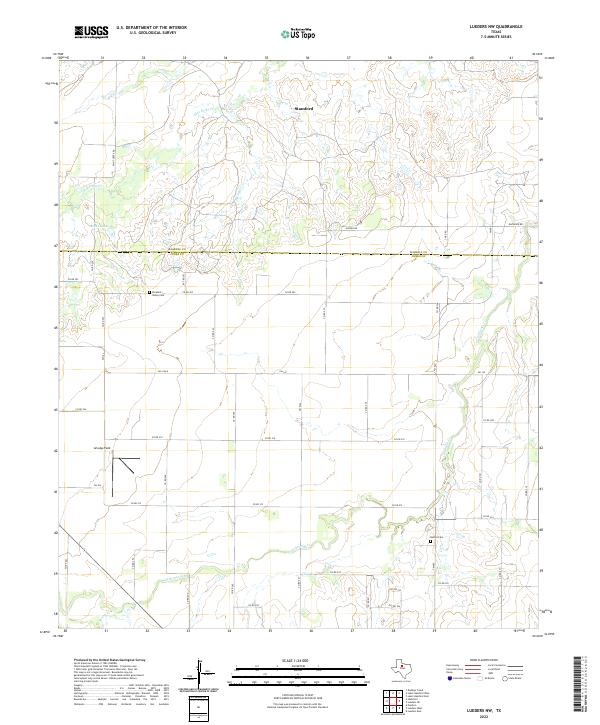
2022 Map of Lueders NW
USGS Topo · Published 2022About this map
Stamford anchors the northern reaches of this West Texas landscape, where the prairie begins to transition across the Haskell Co and Jones Co line. The terrain is defined by the winding drainages of California Cr and Flat Paint Cr, which cut through a predominantly agricultural grid of rural routes like Paint Creek Rd and FM 142. These waterways provided the vital framework for early settlement in an arid region, leading to the establishment of community hubs now preserved in the landscape as quiet landmarks.
Find a feature on this map
45 named features on this map. Tap any name to fly to it.
Don’t see what you’re looking for? This feature index may not catch every label — zoom into the map to look around manually.
Map Details
Editions of this 2022 Lueders NW Map
This is the sole edition of this map. No revisions or reprints were ever made.
Other maps of this area

1891 · Anson
USGS Topo · 1:125,000

1893 · Anson
USGS Topo · 1:125,000

1954 · Abilene
USGS Topo · 1:250,000

1954 · Wichita Falls
USGS Topo · 1:250,000

1958 · Wichita Falls
USGS Topo · 1:250,000

1958 · Abilene
USGS Topo · 1:250,000

1965 · Lueders NW
USGS Topo · 1:24,000

1965 · Lueders NE
USGS Topo · 1:24,000

1965 · Lueders West
USGS Topo · 1:24,000

1965 · Lueders East
USGS Topo · 1:24,000