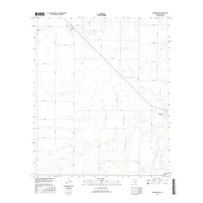
2016 Map of Lueders West
USGS Topo · Published 2016About this map
Lueders and Avoca anchor this Jones County landscape, where the agricultural grid meets a complex network of intermittent waterways. In the north, Spring Cr winds past the Spring Creek Cem, providing a focal point for genealogical research in this rural pocket of West Texas. The drainage patterns of Cottonwood Cr, Flag Br, and Post Oak Cr define the local topography, eventually feeding into the Clear Fork in the southeastern corner. This area is characterized by a dense system of county roads, such as Co RD 261 and Co RD 223, which illustrate the land division and access points for long-established ranching and farming tracts. The proximity of the town of Lueders to the river suggests a settlement pattern historically tied to the water source, while the smaller community of Avoca sits at a significant junction of regional farm-to-market roads.
Find a feature on this map
47 named features on this map. Tap any name to fly to it.
Don’t see what you’re looking for? This feature index may not catch every label — zoom into the map to look around manually.
Map Details
Editions of this 2016 Lueders West Map
This is the sole edition of this map. No revisions or reprints were ever made.
Other maps of this area

1891 · Anson
USGS Topo · 1:125,000

1893 · Anson
USGS Topo · 1:125,000

1954 · Abilene
USGS Topo · 1:250,000

1957 · Hawley
USGS Topo · 1:62,500

1957 · Nugent
USGS Topo · 1:62,500

1958 · Abilene
USGS Topo · 1:250,000

1965 · Lueders NW
USGS Topo · 1:24,000

1965 · Lueders NE
USGS Topo · 1:24,000

1965 · Lueders West
USGS Topo · 1:24,000

1965 · Lueders East
USGS Topo · 1:24,000