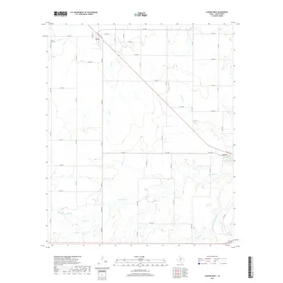
2019 Map of Lueders West
USGS Topo · Published 2019About this map
Avoca and Lueders anchor this Jones County landscape, where the agricultural grid meets a winding network of West Texas waterways. The southeastern corner is defined by the Clear Fork Brazos River, which creates a complex riparian corridor as it takes in tributaries like Flatrock Cr and Cottonwood Cr. These creek systems, including Mesquite Cr and Post Oak Cr, create distinct drainage patterns that break the geometric regularity of the local road network.
Find a feature on this map
49 named features on this map. Tap any name to fly to it.
Don’t see what you’re looking for? This feature index may not catch every label — zoom into the map to look around manually.
Map Details
Editions of this 2019 Lueders West Map
This is the sole edition of this map. No revisions or reprints were ever made.
Other maps of this area

1891 · Anson
USGS Topo · 1:125,000

1893 · Anson
USGS Topo · 1:125,000

1954 · Abilene
USGS Topo · 1:250,000

1957 · Hawley
USGS Topo · 1:62,500

1957 · Nugent
USGS Topo · 1:62,500

1958 · Abilene
USGS Topo · 1:250,000

1965 · Lueders NW
USGS Topo · 1:24,000

1965 · Lueders NE
USGS Topo · 1:24,000

1965 · Lueders West
USGS Topo · 1:24,000

1965 · Lueders East
USGS Topo · 1:24,000