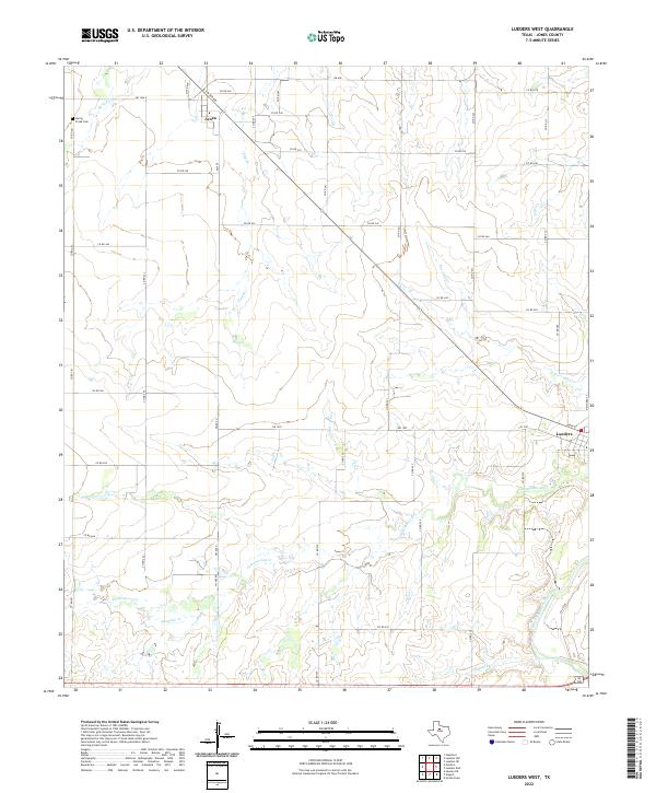
2022 Map of Lueders West
USGS Topo · Published 2022About this map
Avoca and Lueders anchor this study of the Texas plains north of the Brazos, showing a landscape defined by ranch roads and seasonal drainage. The settlement at Avoca is positioned at the junction of FM 600 and FM 1636 E, reflecting the traditional road-and-rail hub pattern of Jones County. The terrain is deeply incised by the Clear Fork Brazos River and its numerous tributaries, including Cottonwood Cr and Post Oak Cr, which draw serpentine lines across the high ground.
Find a feature on this map
49 named features on this map. Tap any name to fly to it.
Don’t see what you’re looking for? This feature index may not catch every label — zoom into the map to look around manually.
Map Details
Editions of this 2022 Lueders West Map
This is the sole edition of this map. No revisions or reprints were ever made.
Other maps of this area

1891 · Anson
USGS Topo · 1:125,000

1893 · Anson
USGS Topo · 1:125,000

1954 · Abilene
USGS Topo · 1:250,000

1957 · Hawley
USGS Topo · 1:62,500

1957 · Nugent
USGS Topo · 1:62,500

1958 · Abilene
USGS Topo · 1:250,000

1965 · Lueders NW
USGS Topo · 1:24,000

1965 · Lueders NE
USGS Topo · 1:24,000

1965 · Lueders West
USGS Topo · 1:24,000

1965 · Lueders East
USGS Topo · 1:24,000