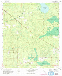
1966 Map of Lulu
USGS Topo · Published 1993About this map
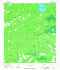
Lulu stands at the northwestern corner of this landscape, marking a rural crossroads along the line separating Columbia and Union counties. The terrain is defined by the heavy presence of wetlands and natural basins, including the broad Swift Creek Swamp, Center Bay, and Cedar Hammock. Waterways like Olustee Creek and Swift Creek carve through the timberland, while Palestine Lake sits at the northern edge.
Find a feature on this map
23 named features on this map. Tap any name to fly to it.
Don’t see what you’re looking for? This feature index may not catch every label — zoom into the map to look around manually.
Map Details
Editions of this 1966 Lulu Map
2 editions found
Other maps of this area

1954 · Gainesville
USGS Topo · 1:250,000

1954 · Valdosta
USGS Topo · 1:250,000

1958 · Valdosta
USGS Topo · 1:250,000

1958 · Gainesville
USGS Topo · 1:250,000

1959 · Valdosta
USGS Topo · 1:250,000

1959 · Gainesville
USGS Topo · 1:250,000

1962 · Lake City East
USGS Topo · 1:24,000

1962 · Mikesville
USGS Topo · 1:24,000

1963 · Olustee
USGS Topo · 1:24,000

1963 · Sanderson South
USGS Topo · 1:24,000