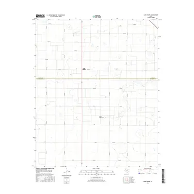
2016 Map of Lums Chapel
USGS Topo · Published 2016About this map
Lums Chapel sits at the center of this High Plains landscape, marking a remote community node near the boundary of Lamb and Hockley counties. The terrain is characterized by a high concentration of playa lakes and the subtle depression of Yellow House Draw, which meanders across the central portion of the quadrangle. The agricultural grid is remarkably regular, defined by a network of county roads named for states and world locations, creating a distinct cultural overlay on the Texas Panhandle. Tracing these thoroughfares reveals a naming convention that includes Tennessee, Ohio, Spain, and Poland. This geometric precision reflects the systematic land partitioning typical of the region's ranching and farming history, where these named tracks served as the primary connectors between isolated homesteads and the chapel at the local crossroads.
Find a feature on this map
30 named features on this map. Tap any name to fly to it.
Don’t see what you’re looking for? This feature index may not catch every label — zoom into the map to look around manually.
Map Details
Editions of this 2016 Lums Chapel Map
This is the sole edition of this map. No revisions or reprints were ever made.
Other maps of this area

1954 · Brownfield
USGS Topo · 1:250,000
1957 · Anton
USGS Topo · 1:62,500
1957 · Wolfforth
USGS Topo · 1:62,500

1958 · Brownfield
USGS Topo · 1:250,000

1962 · Brownfield
USGS Topo · 1:250,000
1964 · Oklahoma Flat
USGS Topo · 1:24,000
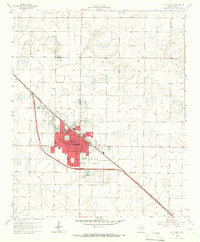
1964 · Littlefield
USGS Topo · 1:24,000
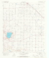
1964 · Bull Lake
USGS Topo · 1:24,000
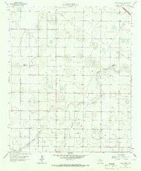
1964 · Lums Chapel
USGS Topo · 1:24,000
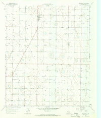
1964 · Whitharral
USGS Topo · 1:24,000