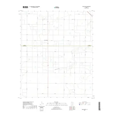
2019 Map of Lums Chapel
USGS Topo · Published 2019About this map
Lums Chapel sits at the center of this high-plains landscape, where the agricultural grid of the Texas Panhandle meets the natural meanders of Yellow House Draw. The survey captures the area at a time when its identity is defined by a curious system of road names honoring various states and nations, including Tennessee, Poland, Spain, and Ontario. This naming convention suggests a specific era of organized land division and settlement planning in this portion of the Llano Estacado. Running west to east, the boundary between Lamb County and Hockley County bisects the map, illustrating how political lines often disregard the subtle topography of the draw. The terrain is otherwise dominated by a dense network of county roads like Maine Rd and Dallas Rd, which facilitate the region's ranching and farming operations.
Find a feature on this map
30 named features on this map. Tap any name to fly to it.
Don’t see what you’re looking for? This feature index may not catch every label — zoom into the map to look around manually.
Map Details
Editions of this 2019 Lums Chapel Map
This is the sole edition of this map. No revisions or reprints were ever made.
Other maps of this area

1954 · Brownfield
USGS Topo · 1:250,000
1957 · Anton
USGS Topo · 1:62,500
1957 · Wolfforth
USGS Topo · 1:62,500

1958 · Brownfield
USGS Topo · 1:250,000

1962 · Brownfield
USGS Topo · 1:250,000
1964 · Oklahoma Flat
USGS Topo · 1:24,000
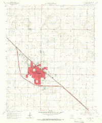
1964 · Littlefield
USGS Topo · 1:24,000
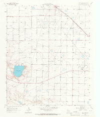
1964 · Bull Lake
USGS Topo · 1:24,000
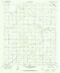
1964 · Lums Chapel
USGS Topo · 1:24,000
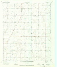
1964 · Whitharral
USGS Topo · 1:24,000