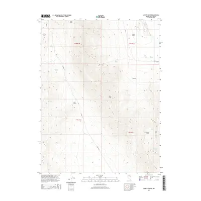
2015 Map of Lusetti Canyon
USGS Topo · Published 2015About this map
The Egan Range dominates this portion of White Pine County, forming a high-elevation spine that separates Steptoe Valley to the east from the high basins to the west. This 2015 survey reveals a landscape where survival and movement are dictated by the location of perennial water sources and narrow mountain passes. Named springs like Archie Spring, McManus Spring, and Jones Springs are critical landmarks in this arid environment, often serving as the only reliable water for livestock or local wildlife.
Find a feature on this map
26 named features on this map. Tap any name to fly to it.
Don’t see what you’re looking for? This feature index may not catch every label — zoom into the map to look around manually.
Map Details
Editions of this 2015 Lusetti Canyon Map
This is the sole edition of this map. No revisions or reprints were ever made.
Other maps of this area

1952 · Ely
USGS Topo · 1:125,000

1956 · Ely
USGS Topo · 1:250,000

1958 · McGill
USGS Topo · 1:24,000

1958 · Ruth
USGS Topo · 1:24,000

1958 · East Ely
USGS Topo · 1:24,000

1958 · McGill
USGS Topo · 1:62,500

1958 · Reipetown
USGS Topo · 1:24,000

1959 · Ely
USGS Topo · 1:250,000

1959 · Reipetown
USGS Topo · 1:62,500

1963 · Ely
USGS Topo · 1:250,000