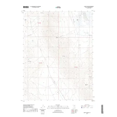
2018 Map of Lusetti Canyon
USGS Topo · Published 2018About this map
The high ridges of the Egan Range dominate this White Pine County landscape, where deep drainages like Lusetti Canyon and Jones Canyon carve through the mountainside. Water is the primary driver of development in this arid environment, evidenced by a network of vital watering points including Toner Spring, Mcmanus Spring, and Archie Spring. These features supported the early ranching and transit routes that established the local economy. In the northeast, the terrain opens into the Steptoe Valley, showing the distinct contrast between the high peaks and the broad basin floors. Along the eastern slopes, Heusser Mtn and Rattlesnake Canyon define the complex topography near The Cove. These named springs and canyons provide a detailed look at how historical land use followed the natural contours of the Great Basin.
Find a feature on this map
25 named features on this map. Tap any name to fly to it.
Don’t see what you’re looking for? This feature index may not catch every label — zoom into the map to look around manually.
Map Details
Editions of this 2018 Lusetti Canyon Map
This is the sole edition of this map. No revisions or reprints were ever made.
Other maps of this area

1952 · Ely
USGS Topo · 1:125,000

1956 · Ely
USGS Topo · 1:250,000

1958 · McGill
USGS Topo · 1:24,000

1958 · Ruth
USGS Topo · 1:24,000

1958 · East Ely
USGS Topo · 1:24,000

1958 · McGill
USGS Topo · 1:62,500

1958 · Reipetown
USGS Topo · 1:24,000

1959 · Ely
USGS Topo · 1:250,000

1959 · Reipetown
USGS Topo · 1:62,500

1963 · Ely
USGS Topo · 1:250,000