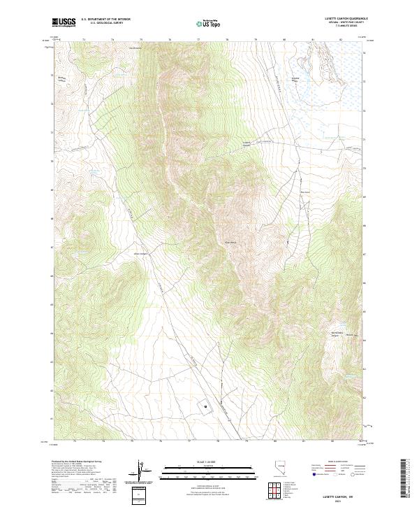
2021 Map of Lusetti Canyon
USGS Topo · Published 2021About this map
The Egan Range dominates this landscape in White Pine County, Nevada, serving as a high-elevation divider between the Smith Valley to the west and Steptoe Valley to the east. This modern survey illustrates the essential role of water in the Great Basin, mapping numerous life-sustaining points such as McManus Spring, Toner Spring, and Bennett Spring. The terrain is characterized by deep incisions like Lusetti Canyon and Bradley Canyon, which provide natural corridors through the steep slopes.
Find a feature on this map
26 named features on this map. Tap any name to fly to it.
Don’t see what you’re looking for? This feature index may not catch every label — zoom into the map to look around manually.
Map Details
Editions of this 2021 Lusetti Canyon Map
This is the sole edition of this map. No revisions or reprints were ever made.
Other maps of this area

1952 · Ely
USGS Topo · 1:125,000

1956 · Ely
USGS Topo · 1:250,000

1958 · McGill
USGS Topo · 1:24,000

1958 · Ruth
USGS Topo · 1:24,000

1958 · East Ely
USGS Topo · 1:24,000

1958 · McGill
USGS Topo · 1:62,500

1958 · Reipetown
USGS Topo · 1:24,000

1959 · Ely
USGS Topo · 1:250,000

1959 · Reipetown
USGS Topo · 1:62,500

1963 · Ely
USGS Topo · 1:250,000