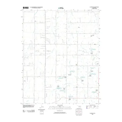
2009 Map of Luther SE
USGS Topo · Published 2009About this map
Quapaw Creek and its many tributaries carve through this section of Lincoln County, defining a landscape of agricultural utility and water management. By the early 21st century, the region was characterized by an extensive network of small reservoirs and dams, such as Quapaw Creek Site 27 Reservoir and Quapaw Creek Site 25 Dam, designed to control the flow of local waterways. These structures are interspersed with rural landmarks like Frost Ranch Airport and Levescy Airport, indicating a reliance on private aviation in this part of Oklahoma.
Find a feature on this map
64 named features on this map. Tap any name to fly to it.
Don’t see what you’re looking for? This feature index may not catch every label — zoom into the map to look around manually.
Map Details
Editions of this 2009 Luther SE Map
This is the sole edition of this map. No revisions or reprints were ever made.
Other maps of this area

1896 · Seminole and Prague
USGS Topo · 1:125,000

1898 · Purcell
USGS Topo · 1:125,000

1905 · Chandler
USGS Topo · 1:62,500

1907 · Chandler
USGS Topo · 1:62,500

1909 · Shawnee
USGS Topo · 1:62,500

1909 · Luther
USGS Topo · 1:62,500

1930 · McLoud
USGS Topo · 1:62,500

1954 · Oklahoma City
USGS Topo · 1:250,000

1956 · Harrah
USGS Topo · 1:24,000

1956 · Horseshoe Lake
USGS Topo · 1:24,000