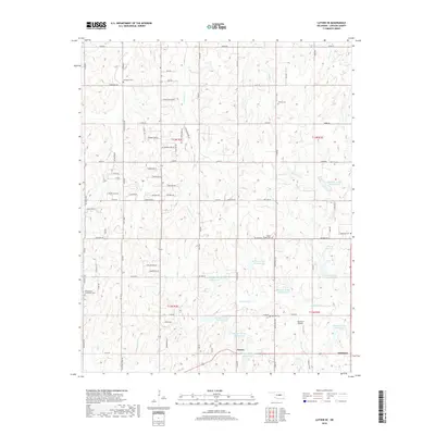
2018 Map of Luther SE
USGS Topo · Published 2018About this map
Jacktown and the small settlement of Fowler sit in the southeastern corner of this central Oklahoma landscape, where the prairie begins to break into the wooded drainages of the Deep Fork watershed. The 2018 terrain is defined by the extensive Quapaw Creek flood control project, featuring a series of numbered reservoirs including Quapaw Cr Site 26 Reservoir and Quapaw Cr Site 32 Reservoir that manage the flow of Quapaw Cr and its tributaries. This network of engineered lakes and ponds significantly altered the local hydrology from its original natural state.
Find a feature on this map
92 named features on this map. Tap any name to fly to it.
Don’t see what you’re looking for? This feature index may not catch every label — zoom into the map to look around manually.
Map Details
Editions of this 2018 Luther SE Map
This is the sole edition of this map. No revisions or reprints were ever made.
Other maps of this area

1896 · Seminole and Prague
USGS Topo · 1:125,000

1898 · Purcell
USGS Topo · 1:125,000

1905 · Chandler
USGS Topo · 1:62,500

1907 · Chandler
USGS Topo · 1:62,500

1909 · Shawnee
USGS Topo · 1:62,500

1909 · Luther
USGS Topo · 1:62,500

1930 · McLoud
USGS Topo · 1:62,500

1954 · Oklahoma City
USGS Topo · 1:250,000

1956 · Harrah
USGS Topo · 1:24,000

1956 · Horseshoe Lake
USGS Topo · 1:24,000