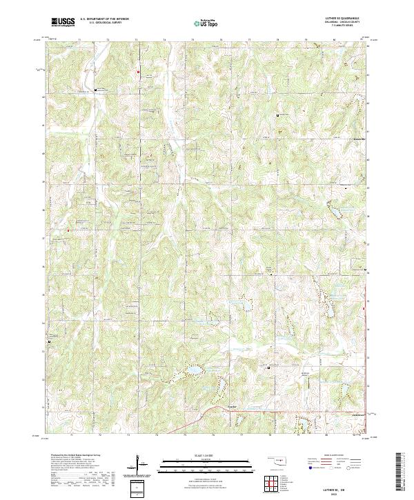
2022 Map of Luther SE
USGS Topo · Published 2022About this map
Quapaw Cr and its numerous flood-control reservoirs dominate this section of Lincoln County, revealing a landscape heavily managed for water conservation. The rural communities of Rossville and Jacktown anchor the eastern side of the survey, connected by a network of sectional roads like E0980 Rd and Britton Rd. For family historians, the area is notably dense with burial grounds, ranging from church-affiliated sites like Saint Pauls Lutheran Cem and Wilson Chapel Cem to smaller family or community plots such as Newby Cem and the Tom Ferrell Community Cem. The presence of the Jacktown Airport and the settlement at Fowler indicates the persistent small-scale infrastructure of central Oklahoma. The drainage patterns of Wildhorse Cr and W Captain Cr illustrate the undulating terrain typical of the region's agricultural and ranching lands.
Find a feature on this map
67 named features on this map. Tap any name to fly to it.
Don’t see what you’re looking for? This feature index may not catch every label — zoom into the map to look around manually.
Map Details
Editions of this 2022 Luther SE Map
This is the sole edition of this map. No revisions or reprints were ever made.
Other maps of this area

1896 · Seminole and Prague
USGS Topo · 1:125,000

1898 · Purcell
USGS Topo · 1:125,000

1905 · Chandler
USGS Topo · 1:62,500

1907 · Chandler
USGS Topo · 1:62,500

1909 · Shawnee
USGS Topo · 1:62,500

1909 · Luther
USGS Topo · 1:62,500

1930 · McLoud
USGS Topo · 1:62,500

1954 · Oklahoma City
USGS Topo · 1:250,000

1956 · Harrah
USGS Topo · 1:24,000

1956 · Horseshoe Lake
USGS Topo · 1:24,000