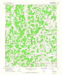
1966 Map of Luther SE
USGS Topo · Published 1967About this map
Captain Creek and its branches, West Captain Creek and East Captain Creek, carve through the rural terrain of Lincoln County in this mid-1960s survey. The landscape is defined by its small community hubs, featuring a high concentration of cemeteries including Lutheran Cem, Newby Cem, and Rossville Cem. These landmarks, alongside the White Rock School and Wilson Chapel, reflect the established social fabric of the area's unincorporated settlements.
Find a feature on this map
24 named features on this map. Tap any name to fly to it.
Don’t see what you’re looking for? This feature index may not catch every label — zoom into the map to look around manually.
Map Details
Editions of this 1966 Luther SE Map
2 editions found
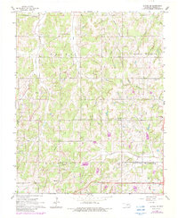
Other maps of this area

1896 · Seminole and Prague
USGS Topo · 1:125,000

1898 · Purcell
USGS Topo · 1:125,000

1905 · Chandler
USGS Topo · 1:62,500

1907 · Chandler
USGS Topo · 1:62,500

1909 · Shawnee
USGS Topo · 1:62,500

1909 · Luther
USGS Topo · 1:62,500

1930 · McLoud
USGS Topo · 1:62,500

1954 · Oklahoma City
USGS Topo · 1:250,000

1956 · Harrah
USGS Topo · 1:24,000

1956 · Horseshoe Lake
USGS Topo · 1:24,000