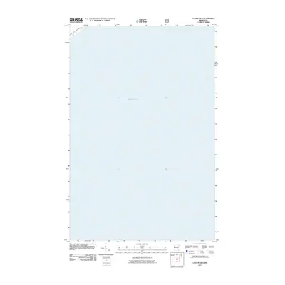
2011 Map of Lutsen OE S
USGS Topo · Published 2011About this map
Lake Superior dominates this cartographic study of the North Shore, capturing the vast aqueous expanse of the world’s largest freshwater lake by surface area. This 2011 edition, produced by the U.S. Geological Survey using Lake Superior data from the National Hydrography Dataset, focuses almost exclusively on the open waters off the coast of Cook County. The map provides precise bathymetric and maritime positioning, with the shoreline of the Lutsen area visible only at the extreme northwestern corner. It serves as a stark visual representation of the scale of the Great Lakes, where the absence of land-based features emphasizes the importance of maritime navigation and the sheer physical presence of the water on the Minnesota coastline.
Find a feature on this map
1 named feature on this map. Tap any name to fly to it.
Don’t see what you’re looking for? This feature index may not catch every label — zoom into the map to look around manually.
Map Details
Editions of this 2011 Lutsen OE S Map
This is the sole edition of this map. No revisions or reprints were ever made.
Other maps of this area

1919 · Lutsen
USGS Topo · 1:62,500

1954 · Two Harbors
USGS Topo · 1:250,000

1955 · Tofte
USGS Topo · 1:24,000

1955 · Tofte
USGS Topo · 1:62,500

1957 · Two Harbors
USGS Topo · 1:250,000

1958 · Two Harbors
USGS Topo · 1:250,000

1958 · Deer Yard Lake
USGS Topo · 1:24,000

1959 · Lutsen
USGS Topo · 1:24,000

1964 · Two Harbors
USGS Topo · 1:250,000
1977 · Grand Marais
USGS Topo · 1:100,000