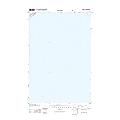
2013 Map of Lutsen OE S
USGS Topo · Published 2013About this map
Lake Superior dominates the vast southern expanse of this coastal Minnesota survey, where the cold waters of the world's largest freshwater lake meet the rocky North Shore. In the extreme northwest corner of the sheet, the boundary of the Superior Natl Forest is established, marking a transition into protected wilderness and timberlands. This portion of the shoreline is traced by State Hwy 61, the vital transportation corridor that links the scattered settlements of Cook County. The map captures a moment in the modern era where the landscape remains largely defined by its natural topography and the immense presence of the lake, with human infrastructure confined to the narrow margin between the forest and the water's edge.
Find a feature on this map
3 named features on this map. Tap any name to fly to it.
Don’t see what you’re looking for? This feature index may not catch every label — zoom into the map to look around manually.
Map Details
Editions of this 2013 Lutsen OE S Map
This is the sole edition of this map. No revisions or reprints were ever made.
Other maps of this area

1919 · Lutsen
USGS Topo · 1:62,500

1954 · Two Harbors
USGS Topo · 1:250,000

1955 · Tofte
USGS Topo · 1:24,000

1955 · Tofte
USGS Topo · 1:62,500

1957 · Two Harbors
USGS Topo · 1:250,000

1958 · Two Harbors
USGS Topo · 1:250,000

1958 · Deer Yard Lake
USGS Topo · 1:24,000

1959 · Lutsen
USGS Topo · 1:24,000

1964 · Two Harbors
USGS Topo · 1:250,000
1977 · Grand Marais
USGS Topo · 1:100,000