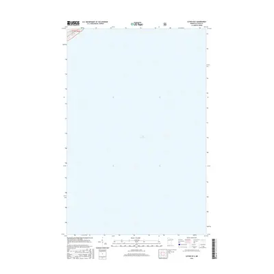
2016 Map of Lutsen OE S
USGS Topo · Published 2016About this map
Lake Superior dominates this geographic study along the North Shore of Minnesota, showing the expansive water surface as it appeared in the mid-2010s. The map captures a section of the lake just offshore from Cook County, providing a clear visualization of the aquatic boundary within T59n R3w. While primarily a hydrographic record of the open water, the sheet includes a sliver of the shoreline at its northwestern edge, providing a precise reference point for researchers tracing the coastline of this Great Lake. The survey is a modern digital production using data from the U.S. Geological Survey and other federal agencies, intended for maritime navigation and coastal management.
Find a feature on this map
2 named features on this map. Tap any name to fly to it.
Don’t see what you’re looking for? This feature index may not catch every label — zoom into the map to look around manually.
Map Details
Editions of this 2016 Lutsen OE S Map
This is the sole edition of this map. No revisions or reprints were ever made.
Other maps of this area

1919 · Lutsen
USGS Topo · 1:62,500

1954 · Two Harbors
USGS Topo · 1:250,000

1955 · Tofte
USGS Topo · 1:24,000

1955 · Tofte
USGS Topo · 1:62,500

1957 · Two Harbors
USGS Topo · 1:250,000

1958 · Two Harbors
USGS Topo · 1:250,000

1958 · Deer Yard Lake
USGS Topo · 1:24,000

1959 · Lutsen
USGS Topo · 1:24,000

1964 · Two Harbors
USGS Topo · 1:250,000
1977 · Grand Marais
USGS Topo · 1:100,000