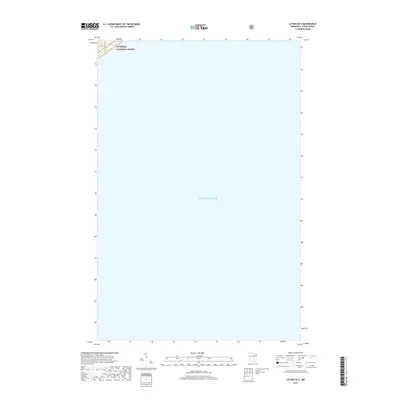
2019 Map of Lutsen OE S
USGS Topo · Published 2019About this map
The vast expanse of Lake Superior dominates this aquatic-focused quadrangle along the North Shore. A small portion of the northwestern corner captures the edge of the Superior National Forest, where the terrain meets the waterline. Mapping by the U.S. Geological Survey in coordination with the U.S. Forest Service highlights the transition from protected terrestrial wilderness to the open waters of the Great Lakes. This specific survey serves as a focused study of the shoreline and deep-water grid south of the Lutsen area, providing a clear record of the coastline's boundary with federal forest lands during the late 2010s.
Find a feature on this map
2 named features on this map. Tap any name to fly to it.
Don’t see what you’re looking for? This feature index may not catch every label — zoom into the map to look around manually.
Map Details
Editions of this 2019 Lutsen OE S Map
This is the sole edition of this map. No revisions or reprints were ever made.
Other maps of this area

1919 · Lutsen
USGS Topo · 1:62,500

1954 · Two Harbors
USGS Topo · 1:250,000

1955 · Tofte
USGS Topo · 1:24,000

1955 · Tofte
USGS Topo · 1:62,500

1957 · Two Harbors
USGS Topo · 1:250,000

1958 · Two Harbors
USGS Topo · 1:250,000

1958 · Deer Yard Lake
USGS Topo · 1:24,000

1959 · Lutsen
USGS Topo · 1:24,000

1964 · Two Harbors
USGS Topo · 1:250,000
1977 · Grand Marais
USGS Topo · 1:100,000