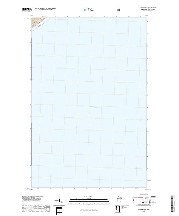
2022 Map of Lutsen OE S
USGS Topo · Published 2022About this map
Lake Superior dominates this nautical expanse along the North Shore, reflecting the maritime character of Cook County in the early 21st century. The map focuses almost entirely on the open water of the Great Lakes, with only a small sliver of shoreline appearing in the northwestern corner. This terrestrial margin, categorized under t59n r3w, provides a critical point of orientation for the Lake Superior Water Trl, a recreational route that follows the rugged coast. The lack of inland development emphasizes the area's isolation and its primary identity as a waterway, serving as a clean record of the shoreline's boundary before it transitions into the deeper reaches of the lake.
Find a feature on this map
3 named features on this map. Tap any name to fly to it.
Don’t see what you’re looking for? This feature index may not catch every label — zoom into the map to look around manually.
Map Details
Editions of this 2022 Lutsen OE S Map
This is the sole edition of this map. No revisions or reprints were ever made.
Other maps of this area

1919 · Lutsen
USGS Topo · 1:62,500

1954 · Two Harbors
USGS Topo · 1:250,000

1955 · Tofte
USGS Topo · 1:24,000

1955 · Tofte
USGS Topo · 1:62,500

1957 · Two Harbors
USGS Topo · 1:250,000

1958 · Two Harbors
USGS Topo · 1:250,000

1958 · Deer Yard Lake
USGS Topo · 1:24,000

1959 · Lutsen
USGS Topo · 1:24,000

1964 · Two Harbors
USGS Topo · 1:250,000
1977 · Grand Marais
USGS Topo · 1:100,000