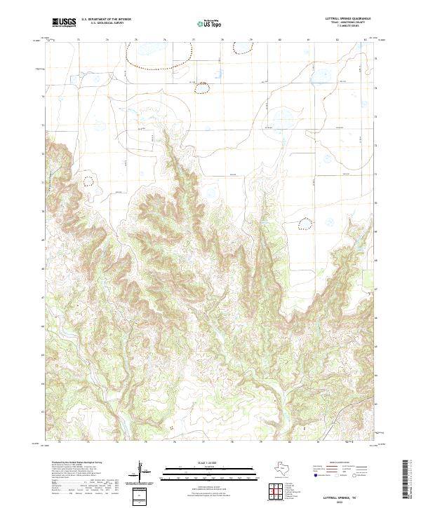
2022 Map of Luttrell Springs
USGS Topo · Published 2022About this map
Luttrell Springs and the surrounding drainage basins of the Texas Panhandle are documented here by the U.S. Geological Survey. The landscape is defined by the erosion patterns of the Salt Fork of the Red River, which carves through the local caprock to create the complex topography of Horseshoe Canyon. This map captures a transition between the high, level plains of the Llano Estacado and the dissected breaks that drop into the river valleys below.
Find a feature on this map
17 named features on this map. Tap any name to fly to it.
Don’t see what you’re looking for? This feature index may not catch every label — zoom into the map to look around manually.
Map Details
Editions of this 2022 Luttrell Springs Map
This is the sole edition of this map. No revisions or reprints were ever made.
Other maps of this area

1954 · Amarillo
USGS Topo · 1:250,000

1954 · Plainview
USGS Topo · 1:250,000

1958 · Amarillo
USGS Topo · 1:250,000

1958 · Plainview
USGS Topo · 1:250,000

1960 · Fairview
USGS Topo · 1:24,000

1960 · Claude
USGS Topo · 1:62,500

1960 · Wayside
USGS Topo · 1:62,500

1963 · Luttrell Springs
USGS Topo · 1:24,000

1963 · Luttrell Springs NE
USGS Topo · 1:24,000

1963 · Pleasant Creek
USGS Topo · 1:24,000