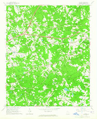
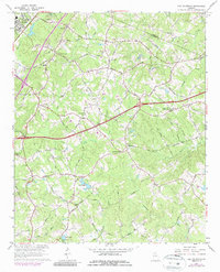
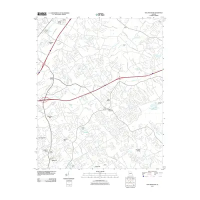
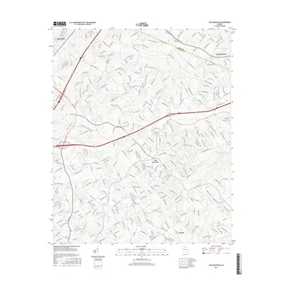
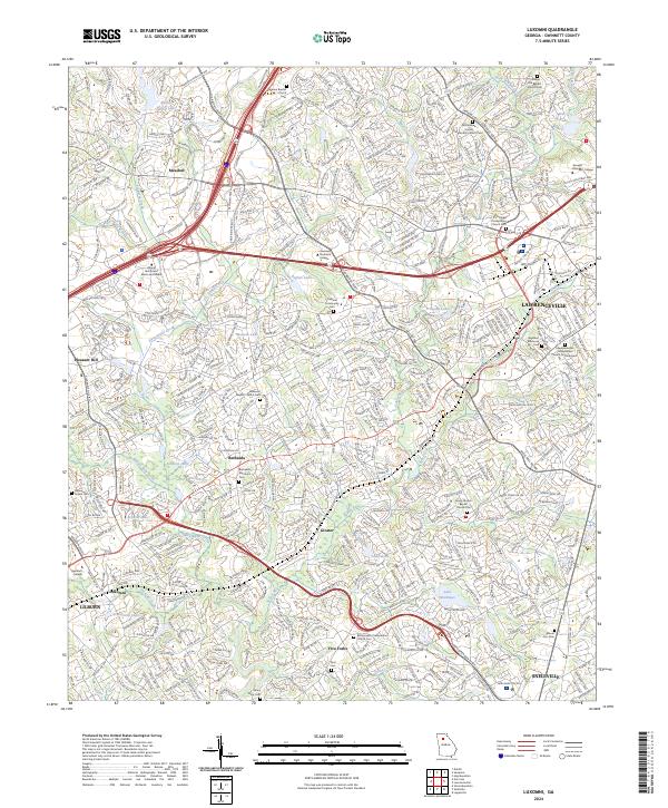
1963 Map of Luxomni
USGS Topo · Published 1965About this map
The Seaboard Air Line railway and the newly appearing Northeast Expressway bisect this Gwinnett County landscape, capturing a moment of transition between rural agricultural life and suburban expansion. Established communities like Luxomni, Gloster, and Bethesda anchor the area, while family and community landmarks such as Lebanon Ch and McKendree Ch reflect a deep-rooted local history.
Find a feature on this map
68 named features on this map. Tap any name to fly to it.
Don’t see what you’re looking for? This feature index may not catch every label — zoom into the map to look around manually.
Map Details
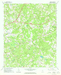
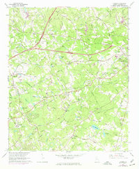
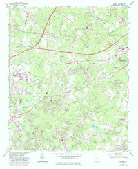
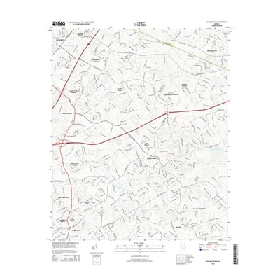
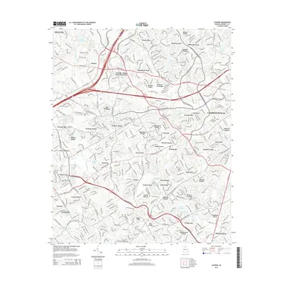
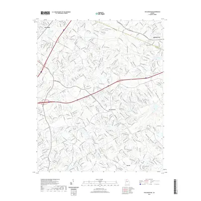
Editions of this 1963 Luxomni Map
4 editions found
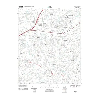
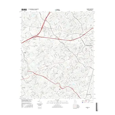
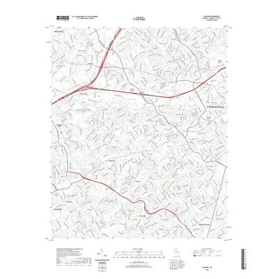
Historical Maps of Lawrenceville Through Time
15 maps found
1963 Luxomni
Gwinnett County, GA
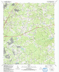
1964 Hog Mountain
Gwinnett County, GA
1992 Hog Mountain
Gwinnett County, GA
1992 Luxomni
Gwinnett County, GA
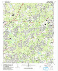
1999 Luxomni
Gwinnett County, GA
2011 Hog Mountain
Gwinnett County, GA
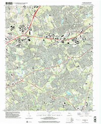
2011 Luxomni
Gwinnett County, GA
2014 Hog Mountain
Gwinnett County, GA
2014 Luxomni
Gwinnett County, GA
2017 Hog Mountain
Gwinnett County, GA
2017 Luxomni
Gwinnett County, GA
2020 Hog Mountain
Gwinnett County, GA
2020 Luxomni
Gwinnett County, GA
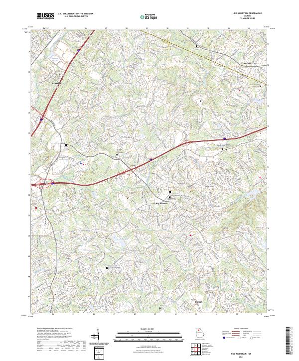
2024 Hog Mountain
Gwinnett County, GA
2024 Luxomni
Gwinnett County, GA