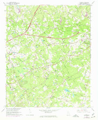
1963 Map of Luxomni
USGS Topo · Published 1974About this map
The Yellow River and Sweetwater Creek systems define the rolling Gwinnett County terrain during a decade of significant suburban expansion. Small, historically established communities like Luxomni, Bethesda, and Gloster remain visible along the Seaboard Coast Line railroad, while the encroaching Northeast Expressway and developments like the Drive-in Theater near Lawrenceville signal a shift toward modern infrastructure. Local genealogy and history are anchored by numerous country churches and cemeteries, such as Lebanon Ch and McKendree Ch. The map reflects a landscape in transition, where old agricultural patterns and family-named landmarks like Browne Lake and Pharrs Cem coexist with new road networks and utilities, including a Sewage Disposal plant and multiple gaging stations monitoring the local watersheds.
Find a feature on this map
53 named features on this map. Tap any name to fly to it.
Don’t see what you’re looking for? This feature index may not catch every label — zoom into the map to look around manually.
Map Details
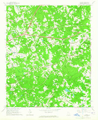
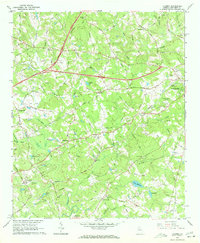
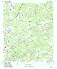
Editions of this 1963 Luxomni Map
4 editions found
Other maps of this area

1888 · Atlanta
USGS Topo · 1:125,000

1890 · Suwanee
USGS Topo · 1:125,000

1890 · Atlanta
USGS Topo · 1:125,000

1891 · Gainesville
USGS Topo · 1:125,000

1892 · Atlanta
USGS Topo · 1:125,000

1894 · Suwanee
USGS Topo · 1:125,000

1895 · Atlanta
USGS Topo · 1:125,000

1896 · Monroe
USGS Topo · 1:125,000

1953 · Atlanta
USGS Topo · 1:250,000

1953 · Athens
USGS Topo · 1:250,000