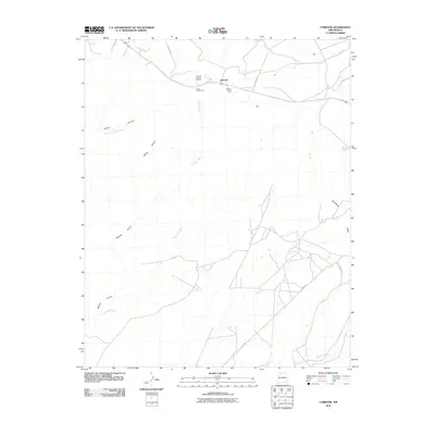
2010 Map of Lybrook
USGS Topo · Published 2010About this map
Escrito Trading Post and Mauzy Trading Post sit along the high corridor of this New Mexico landscape, marking a history of commerce and community in the high desert. Near the settlement of Lybrook, the Lybrook Navajo Mission serves as a local landmark amidst a network of ephemeral watercourses. The terrain is deeply defined by drainages like Blanco Wash and Alamito Arroyo, which cut through the arid plains toward Sisnathyel Mesa and Hutton Canyon. These geological features, alongside Betonnie Tsosie Wash and Escavada Wash, dictate the placement of local roads and cattle guards. The presence of routes such as W Sam Charlie's and E Wind ML suggests a working landscape of ranching and remote navigation through the Cañada Alemita valley.
Find a feature on this map
16 named features on this map. Tap any name to fly to it.
Don’t see what you’re looking for? This feature index may not catch every label — zoom into the map to look around manually.
Map Details
Editions of this 2010 Lybrook Map
This is the sole edition of this map. No revisions or reprints were ever made.
Other maps of this area

1889 · Largo
USGS Topo · 1:250,000

1895 · Largo
USGS Topo · 1:250,000

1954 · Aztec
USGS Topo · 1:250,000

1958 · Aztec
USGS Topo · 1:250,000

1959 · Nageezi
USGS Topo · 1:62,500

1962 · Aztec
USGS Topo · 1:250,000

1963 · Tayfoya Canyon
USGS Topo · 1:24,000

1965 · Aztec
USGS Topo · 1:250,000

1966 · Lybrook NW
USGS Topo · 1:24,000
1966 · Mule Dam
USGS Topo · 1:24,000